Understand. Space. Time.
What to Find Here
EarthServer is fully committed to standards, most importantly the datacube standards of OGC,ISO, and European INSPIRE, centering around coverages. This tutorial gives a one-stop shop of information about datacube standards: a primer, interactive demos, slides, standards, publications...you name it!
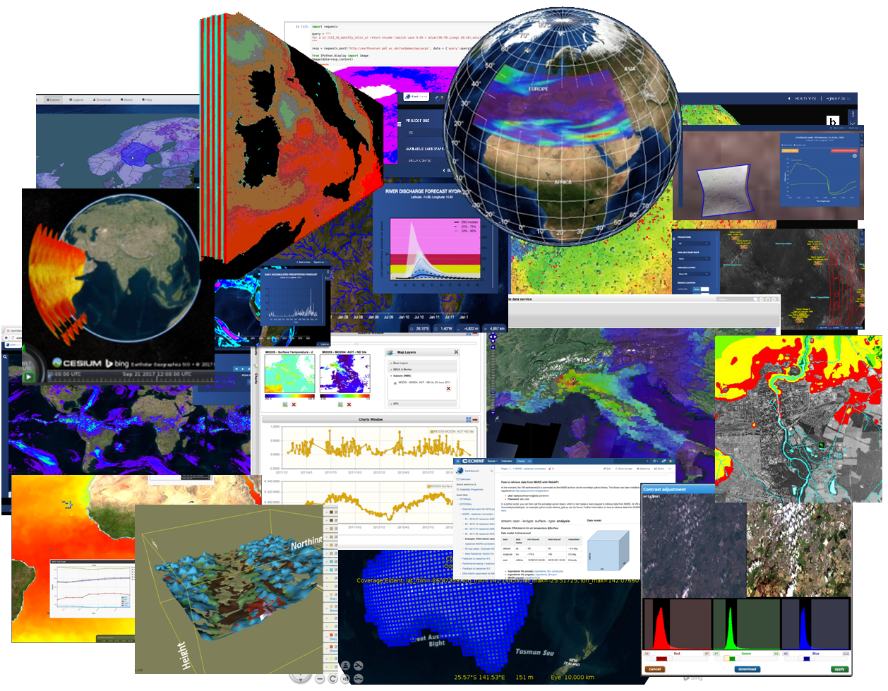
Actionable datacubes provide a powerful, yet simplifying paradigm for getting insight from massive spatio-temporal data. This concept, which generalizes the concept of seamless maps from 2-D to n-D, is based on preprocessing incoming data so as to integrate all data form one sensor into one logical array, say 3-D x/y/t for image timeseries or 4-D x/y/z/t for weather forecasts. This enables spatial analysis (both horizontally and vertically) and multi-temporal analysis simultaneously. Adequate service interfaces enable “shipping code to the data” to avoid excessive data transport. In standardization, datacubes belong to the category of coverages as established by ISO and OGC. Datacube services based on these standards are in operational use since many years now, serving multi-Petabyte assets. Below is a kaleidoscope of coverage-enabled services, with their individual portals and clients supported.
However, despite the accepted advantages many questions reach us on datacubes - not surprisingly, as this concept is new (and not yet taught comprehensively at universities). This EarthServer tutorial provides answers and links to get you from zero (or above) ot hero!
Coverages, explained:
Still have questions?
High-Performance Datacube Engine:
rasdaman
The rasdaman engine has pioneered Actionable Datacubes® and Array Databases. With its enabling approach of a high-level datacube analytics language -- adopted into ISO SQL -- and underpinned by a powerful datacube architecture rasdaman remains the gold standard for modern multi-dimensional raster data services.
Questions? Answers!
We gladly share our experience to answer any questions you may have, from strategic issues down to any technical depth. This can be discussed based on your own data, your own ecosystem requirements, and of course under strict confidentiality (such as under an NDA). Webinars as well as on-site meetings are possible.
Contact us - we gladly share our experience and insight from many years of writing, implementing, and deploying OGC, ISO, and INSPIRE standards, from Raspberry Pi to dozens-of-Petabytes DIAS archives.